
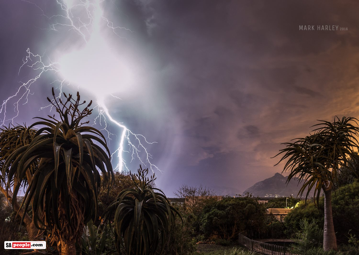
Severe Storm Headed to Western Cape
South African Weather Service is currently monitoring the development of two cold frontal systems which are projected to affect the southern parts of the country in the next six days… with the second one predicted to be potent… although sadly, with Cape Town experiencing its worst drought in over a century, even this expected major […]

South African Weather Service is currently monitoring the development of two cold frontal systems which are projected to affect the southern parts of the country in the next six days… with the second one predicted to be potent… although sadly, with Cape Town experiencing its worst drought in over a century, even this expected major rainfall is unlikely to make much difference to the city’s drinking water scarcity!
The first cold front is expected to reach Cape Town during the second half of tomorrow (Saturday, 03 June), when there will be a good chance of moderate rain over the Cape Metro and Cape Winelands areas.
Rain is also expected to spread overnight to parts of the West Coast and Overberg Districts.
The public is also made aware of the strong winds which are also expected in places over the Western Cape (coast and interior) as well as the interiors of Northern and Eastern Cape Provinces during tomorrow.
The second cold front, much more potent, will reach Cape Town during late Tuesday night.
At this early stage, indications are that there is a high likelihood of widespread rain over the south-western parts of the country, and also potential for heavy rains (>50mm/24hours) in some places on Wednesday.
Although this much rain is expected, the severity of the ongoing water shortage in the Western Cape is such that there will be almost still no relief brought by this weather system on its own.
Strong to gale force winds and very high seas are expected along the Western Cape coast on Wednesday, and there is also a risk of storm surge.
The effects of this second cold front will also be felt over the central parts of the country in the form of strong winds (potentially gale in places) in the Northern Cape, Eastern Cape and Free State on Tuesday and Wednesday.
It will also be cold over these provinces on Thursday and Friday.
The South African Weather Service will continue to monitor further developments during this period and will issue subsequent updates as required. Furthermore, the general public are urged to regularly follow weather forecasts on television and radio.
Source: www.weathersa.co.za/
Watch Steve Pikes’ Surf Report
“A severe storm looms next week Tuesday into Wednesday and Thursday along the South African coast. Call it Dik Wednesday, but it looks like Thursday might be the only day to run the JBU Supertrial Powered by Monster. Spike presents his latest video swell-cast.”