How Africa ‘grew’ and Greenland got a reality check by vote alone
A continent can look bigger without gaining land. A UN vote challenges the map that made Greenland seem almost as large as Africa.





A continent can apparently grow without gaining a single hectare.
Africa has just enjoyed that peculiar experience, thanks to a United Nations map decision. Nothing moved, no borders changed, and nobody had to redraw the coastline.
Yet millions of people could soon see Africa in a way that reflects its actual size.
THE CONTINENT GETS ITS DUE
On 4 September, the UN General Assembly voted 164 to one, with six abstentions, to support more accurate representations of continental size. Togo introduced the resolution, and African states backed it.
The vote promotes equal-area map projections, including Equal Earth. The projection shows the relative size of land areas more accurately than the Mercator projection, according to the United Nations General Assembly record.
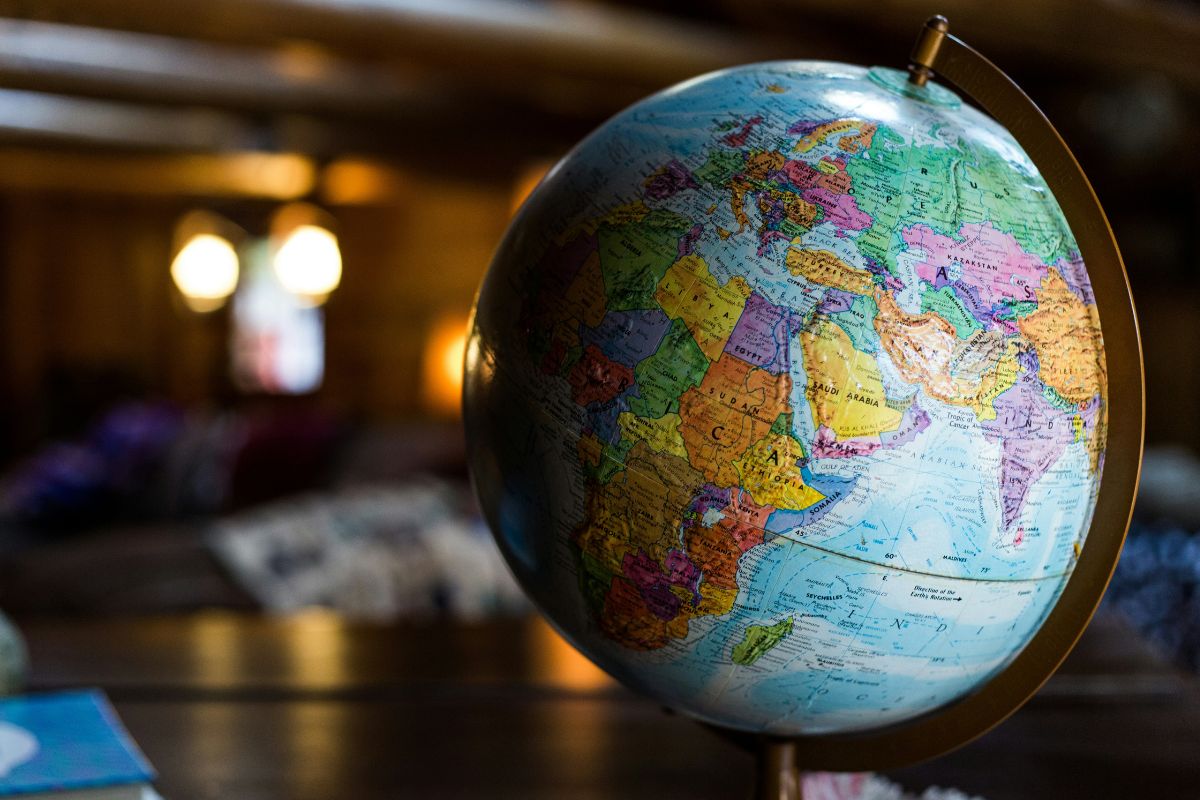
This matters because the familiar Mercator map stretches areas towards the poles. Africa sits closer to the equator, so it gets visually short-changed.
The numbers make the point rather nicely: Africa covers about 30.4 million square kilometres, and Greenland only covers about 2.2 million square kilometres.
Africa is therefore roughly 14 times larger, despite the two often appearing similar on Mercator maps.
CONTINENTAL MAP MATH
Before anyone in South Africa starts celebrating extra territory, Africa has not actually expanded. Greenland has not shrunk either.
The problem starts when cartographers flatten a globe. Every flat map must distort something, whether area, shape, distance or direction.
The Mercator projection dates from the 16th century and became useful for navigation because sailors could plot straight-line courses.
That remains important today. Togo stressed that the UN resolution does not challenge Mercator’s use for maritime or aerial navigation.
The argument concerns general maps used in classrooms, publications and other settings where relative size matters.
In those cases, the map can influence how people picture the world.
THE CONTINENT CHANGES THE PICTURE
Togo’s Foreign Minister Robert Dussey has framed the campaign around how maps shape perceptions. During the UN debate, he argued that the aim was to improve geographical understanding, rather than attack another country or civilisation.
Togo plans to change its school geography materials by the end of this year. The country also intends to discuss wider adoption with African Union members and technology companies.
France has said it will also move away from Mercator for general representation.
The United States was the only country to vote against the resolution.
The decision is not legally binding, and it does not redraw borders, the UN explained.
So Africa has not grown.
Greenland has not shrunk.
Our maps may simply have been giving us the wrong impression all along.