WEATHER: Strong winds, hail and lightning expected in SA
Curious about what the skies hold? Discover the latest outlook for all nine provinces across South Africa this Tuessday, 23 January 2026.

Get daily updates on temperatures, winds and UVB levels, and see what the SA Weather Service predicts for the country.
Here’s the weather outlook for South Africa’s nine provinces.
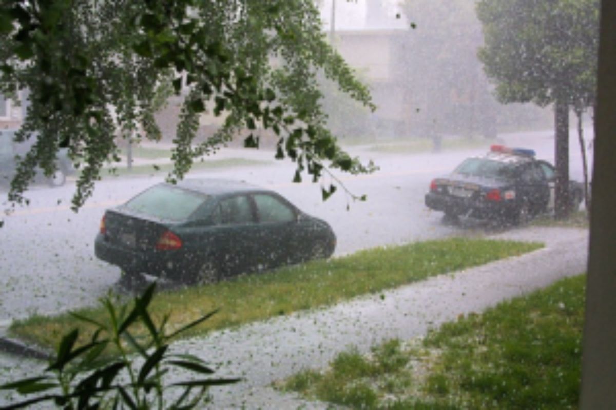
The South African Weather Service has issued a Yellow Level 2 warning for severe thunderstorms, as well as a Yellow Level 4 warning for severe thunderstorms accompanied by heavy downpours.
SEVERE WEATHER ALERTS
IMPACT-BASED WARNINGS
A. Yellow Level 4 Warning: For severe thunderstorms accompanied by heavy downpours leading to flooding of susceptible roads, settlements, low-lying areas and bridges, damage to infrastructure, as well as difficult driving conditions is expected over Dr Beyers Naud, Sundays River Valley, Koukamma, Nelson Mandela Metro and Kouga Local Municipalities as well as the extreme southern parts of KwaZulu-Natal and the extreme south-eastern parts of the Northern Cape.
B. Yellow Level 2 Warning: For severe thunderstorms accompanied by heavy downpours leading to localised flooding of susceptible roads, settlements, low-lying areas and bridges, as well as difficult driving conditions is expected over Blue Crane Route, Makanda and Ndlambe Local Municipalities, as well as the eastern parts of the Western Cape and Northern Cape, North West, Free State except the extreme north-eastern parts, and KwaZulu-Natal.
FIRE DANGER WARNINGS
NIL
ADVISORIES
NIL
Weather conditions and UVB forecast in South Africa’s provinces
Gauteng
Gauteng can expect cloudy and warm weather with isolated showers and thundershowers.
The expected UVB Sunburn Index is High
Mpumalanga
Mpumalanga, the Place of the Rising Sun, can expect partly cloudy and cool to warm with isolated showers and thundershowers, except in the north-eastern parts.
Limpopo
In Limpopo, partly cloudy and warm to hot with isolated showers and thundershowers in the Western Bushveld.
North West
North West, known as Bokone Bophirima in Setswana, can expect Cloudy Conditions, becoming partly cloudy and warm, with scattered showers and thundershowers, but isolated over the extreme northeastern parts.
Free State
In Free State, cloudy, becoming partly cloudy and cool to warm, with scattered showers and thundershowers, but isolated over the far eastern parts.
Northern Cape
The day will start cloudy with morning mist along the west coast, becoming partly cloudy and cool to warm, with isolated to scattered showers and thundershowers, except over the western interior. The wind along the coast will be light and variable.
Western Cape
Cloudy with morning mist along the west coast becoming partly cloudy and warm with isolated thundershowers over the eastern interior and eastern parts of the south coast but scattered over the extreme east. The wind along the coast will be moderate north-westerly, but westerly along the south coast.
The expected UVB sunburn index is Very high
Eastern Cape
The Western half: Cloudy and cool with scattered to widespread showers and thundershowers. The wind along the coast will be moderate to fresh south-westerly
The Eastern half: The day will start cloudy and cool to warm with scattered showers and thundershowers. The wind along the coast will be moderate to fresh westerly.
KwaZulu-Natal
Morning fog patches over the interior; otherwise, partly cloudy to cloudy, with cool to warm conditions, but extremely hot in the northeast. Scattered showers and thundershowers are expected. The wind along the coast will be moderate to fresh northerly to north-easterly.
The expected UVB Sunburn Index is Low
Forecast data provided by the South African Weather Service.