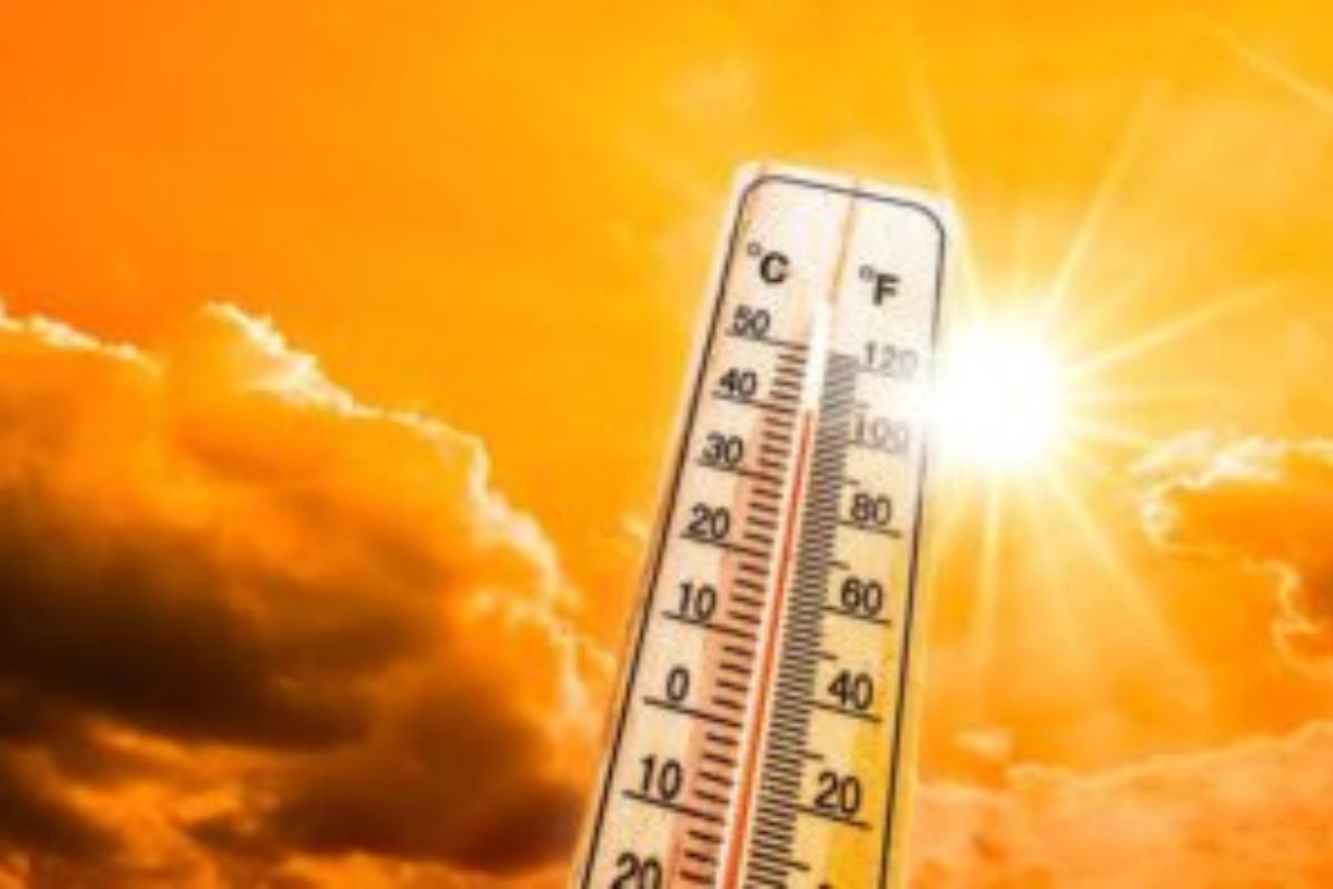
WEATHER: Heatwave with persistently high temperatures expected until next Thursday
Curious about what the skies hold? Discover the latest outlook for all nine provinces across South Africa this Friday, 23 January 2026.

Get daily updates on temperatures, winds and UVB levels, and see what the SA Weather Service predicts for the country.
Here’s the weather outlook for South Africa’s nine provinces.
The South African Weather Service has issued a warning for severe thunderstorms, as well as a Yellow Level 1 warning for damaging coastal winds affecting navigation along the west coast on Friday.
SEVERE WEATHER ALERTS
IMPACT-BASED WARNINGS
A. Yellow level 1 Warning: Damaging coastal winds resulting in difficulty in navigation at sea, localised disruption of small harbours and/or ports for a short period of time and small vessels at risk of taking on water and capsizing in a locality are expected between Port Edward and KwaDukuza in the morning.
FIRE DANGER WARNINGS
Extremely high fire danger conditions are expected over the southern parts of Free State, and the central parts of the Northern Cape.
ADVISORIES
A heat wave with persistently high temperatures is expected in places over Sarah Baartman, Chris Hani, Joe Gqabi, Alfred Nzo, OR Tambo and Amathole local municipalities of the Eastern Cape from 24 January 2026 until 29 January 2026.
Weather conditions and UVB forecast in South Africa’s provinces
Gauteng
Gauteng can expect Partly cloudy and warm with isolated afternoon showers thundershowers.
The expected UVB Sunburn Index is High
Mpumalanga
Mpumalanga, the Place of the Rising Sun, can expect morning fog patches along the escarpment, otherwise partly cloudy and warm with isolated afternoon showers and thundershowers.
Limpopo
In Limpopo, morning fog patches along the escarpment, otherwise partly cloudy and warm with isolated showers and thundershowers.
North West
North West, known as Bokone Bophirima in Setswana, can expect partly cloudy and warm, with isolated afternoon showers and thundershowers in the extreme east.
Free State
In Free State, partly cloudy and warm, with isolated afternoon showers and thundershowers
in the extreme east.Partly cloudy and warm, with isolated afternoon showers and thundershowers in the extreme east. It will be windy in south.
Northern Cape
The day will start cloudy with fog patches along the coast at first; otherwise fine, windy and warm to hot becoming partly cloudy in the east. The Wind along the coast will be light to moderate southerly to south- easterly becoming fresh to strong in the afternoon.
Western Cape
Fine in places, otherwise partly cloudy and cool to warm with a chance of light showers and rain along the south coast. The wind along the coast will be light to moderate southerly to south- easterly becoming fresh in the afternoon.
The expected UVB sunburn index is Very high
Eastern Cape
The Western half: Partly cloudy and warm but cool in places along the coast. The wind along the coast will be moderate to fresh south-westerly.
The Eastern half: The day will start partly cloudy and warm but cool in places along the coast with a chance of light rain and showers in places south of escarpment. The wind along the coast will be moderate to fresh south-westerly.
KwaZulu-Natal
Morning and evening fog patches over the interior, otherwise partly cloudy and warm with isolated showers and rain. The wind along the coast will be moderate to fresh northerly to north-westerly in the north at first, otherwise fresh to strong southerly to south-westerly. It will become light to moderate south-easterly in the south in the evening.
The expected UVB Sunburn Index is Moderate
Forecast data provided by the South African Weather Service.