WEATHER: Heavy rain, hail and flooding set for SA this WEEKEND
Curious about what the skies hold? Discover the latest outlook for all nine provinces across South Africa this Friday, 14 November 2025.

Get daily updates on temperatures, winds and UVB levels, and see what the SA Weather Service predicts for the country.
Here’s the weather outlook for South Africa’s nine provinces.
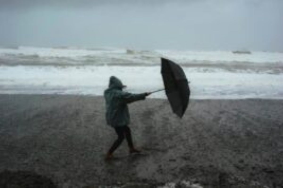
The South African Weather Service (Saws) has issued a warning for severe thunderstorms, with the potential for hail, localised flooding and damaging winds expected to impact several provinces from Friday through the weekend. The affected areas include KwaZulu-Natal, Mpumalanga, Gauteng and Limpopo.
SEVERE WEATHER ALERTS
The weather service has issued its updated forecast for 14 November 2025. Although impact-based alerts are in place for Saturday and Sunday, a Level 4 yellow warning has been issued for severe thunderstorms.
IMPACT-BASED WARNINGS FOR SATURDAY AND SUNDAY
A. Yellow Level 4: Severe Thunderstorms accompanied by heavy downpours, damaging winds, excessive lightning, and hail resulting in danger to life (fast flowing streams /deep water), flooding of roads, settlements and low-lying areas, resulting in closure of some bridges and roads, damage to property and infrastructure, settlements (formal and informal), vehicles, livelihood, agricultural production and livestock is expected over the western parts of KwaZulu Natal from Saturday until Sunday.
B. Yellow Leve1 2: Severe Thunderstorms leading to localized flooding of susceptible roads, low-lying areas and bridges, as well as large amounts of small hail over open area, damage to property and infrastructure, road flooding and low lying areas and excessive lightning are expected over the central parts of North West, in places in the Free State, central and eastern parts of KwaZulu Natal, southern parts of both Mpumalanga and Gauteng on Saturday. These conditions are expected to persist until Sunday over the entire part of Gauteng and Mpumalanga, as well as the southern parts of Limpopo.
FIRE DANGER WARNINGS
NIL
ADVISORIES
NIL
Weather conditions and UVB forecast in South Africa’s provinces
Gauteng
Gauteng can expect cloudy and warm weather with isolated afternoon thundershowers.
The expected UVB Sunburn Index is Low
Mpumalanga
Mpumalanga, The Place of the Rising Sun, can expect cloudy and cool to warm with light rain along the escarpment in the morning, otherwise, isolated showers and thundershowers are expected over the highveld and southern escarpment from the afternoon.
Limpopo
In Limpopo, it will be cloudy and warm with LIGHT rain along the escarpment in the morning, otherwise isolated showers and thundershowers
are expected in places over the Western Bushveld.
North West
North West, known as Bokone Bophirima in Setswana, can expect partly cloudy and warm, with isolated showers and thundershowers.
Free State
In Free State, Cloudy becoming partly cloudy and warm with isolated thundershowers, except the central and southern part where it will hbe ot.
Northern Cape
The day will start with fine conditions and temperatures ranging from hot to very hot, becoming partly cloudy with isolated thundershowers over the central and northern parts. The wind along the coast will be fresh to strong south-easterly.
Western Cape
Partly cloudy and warm to hot, but very hot over the eastern interior and west-coast interior. The wind along the coast will be fresh to strong south-easterly, but moderate to fresh easterly along the south coast at first, becoming southerly from the afternoon
The expected UVB sunburn index is Very High.
Eastern Cape
The Western half: The day will begin with fog patches in places over the interior in the morning, otherwise partly cloudy and hot, but warm in places along the coast. The wind along the coast will be light to moderate north-easterly to easterly, becoming south-westerly from the afternoon.
The Eastern half: The day will start off cloudy with isolated thundershowers and rain in the far east during the morning, otherwise conditions will be fine and warm to hot. Winds along the coast will be moderate to fresh north-easterly, shifting to south-westerly during the night.
KwaZulu-Natal
KwaZulu-Natal can expect morning fog patches over the central and western interior, with otherwise cloudy and cool to warm conditions, accompanied by isolated showers and rain, except in the northeastern parts. It will become partly cloudy in the afternoon. The wind along the coast will be light to moderate southerly to south-easterly, becoming moderate to fresh north-easterly in the south from late morning, spreading northwards in the afternoon, reaching strong in places.
The expected UVB Sunburn Index is High.
Forecast data provided by the South African Weather Service.