WEATHER: Heavy rain, thunderstorms and damaging winds to hit SA
Curious about what the skies hold? Discover the latest outlook for all nine provinces across South Africa this Monday, 19 January 2026.

Get daily updates on temperatures, winds and UVB levels, and see what the SA Weather Service predicts for the country.
Here’s the weather outlook for South Africa’s nine provinces.
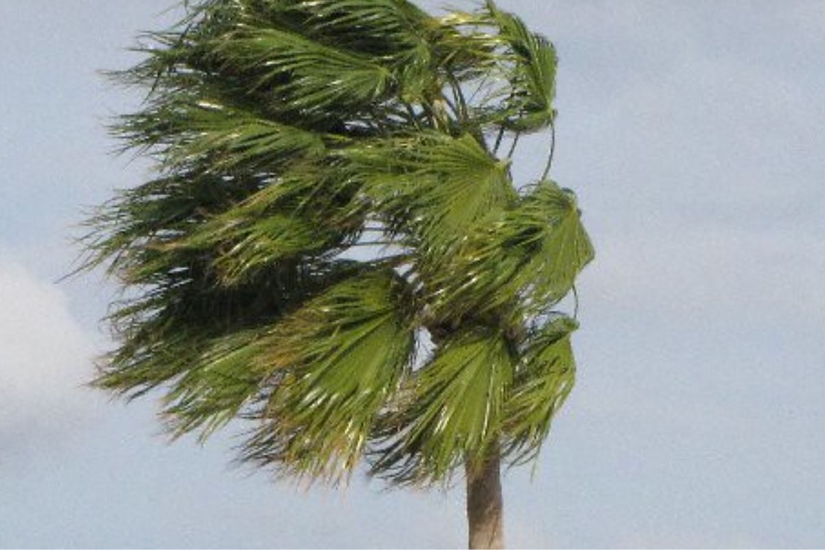
The South African Weather Service has issued multiple warnings, including Yellow Level 2 alerts for disruptive rain and severe thunderstorms in parts of Limpopo, and a Yellow Level 1 warning for damaging coastal winds affecting navigation along the west coast on Monday.
SEVERE WEATHER ALERTS
IMPACT-BASED WARNINGS
A. Yellow Level 2 Warning: Disruptive Rain with heavy downpours leading to localised flooding of susceptible roads, settlements, low-lying bridges/areas, major roads affected but can be used, increased travel times over the eastern and northern parts of Limpopo.
B. Yellow Level 2 Warning: Severe Thunderstorms with localised flooding of susceptible roads, low-lying areas and bridges, large amounts of small hail, and localised damage to infrastructure due to damaging winds over the south-western parts of Limpopo.
C. Yellow Level 1 Warning: Damaging Coastal Winds resulting in difficulty in navigation at sea between Alexander Bay and Cape Columbine on Monday morning, spreading to Cape Point from the afternoon.
FIRE DANGER WARNINGS
Extremely high fire danger conditions are expected over the north-eastern parts of Northern Cape.
ADVISORIES
NIL
Weather conditions and UVB forecast in South Africa’s provinces
Gauteng
Gauteng can expect Cloudy and cool to warm, becoming partly cloudy in the afternoon.
The expected UVB Sunburn Index is Moderate
Mpumalanga
Mpumalanga, the Place of the Rising Sun, can expect partly cloudy over the Highveld at first, otherwise cloudy and cool to warm with isolated showers and thundershowers, but scattered in the extreme north-west.
Limpopo
In Limpopo, cloudy and warm with scattered showers and thundershowers, but isolated in extreme south-east.
North West
North West, known as Bokone Bophirima in Setswana, can expect partly cloudy and warm to hot, with isolated showers and thundershowers in the central and eastern parts, but scattered in the extreme east where it will be cloudy.
Free State
In Free State, cloudy with morning fog patches in the east, otherwise partly cloudy and warm to hot with isolated showers and thundershowers, except in the extreme north-west.
Northern Cape
The day will start fine and warm to hot, but cool over Richtersveld Municipality. The wind along the coast will be fresh to strong southerly to south-easterly.
Western Cape
Partly cloudy in the central and eastern parts at first, otherwise fine and cool to warm but hot over the northern parts of West Coat district. It will become partly cloudy along the south coast from the evening. The wind along the coast will be light south-westerly along the south coast, otherwise fresh to strong southerly to south easterly.
The expected UVB sunburn index is Extreme
Eastern Cape
The Western half: Partly cloudy, becoming fine and warm. The wind along the coast will be light to moderate south-westerly.
The Eastern half: The day will start partly cloudy in the west at first, otherwise cloudy and cool to warm with light rain along the wild coast and adjacent interior, but with isolated thunderstorms in the north-east interior. The wind along the coast will be light south-westerly turning southerly to south-easterly along the northern coastline.
KwaZulu-Natal
Cloudy and cool to warm with isolated showers and thundershowers but scattered along the coast and adjacent interior. The wind along the coast will be moderate to fresh southerly to south-westerly but strong north of Richards Bay.
The expected UVB Sunburn Index is Moderate
Forecast data provided by the South African Weather Service.