WEATHER: Severe storms with heavy rain expected this WEEKEND
Curious about what the skies hold? Discover the latest outlook for all nine provinces across South Africa this Saturday, 7 March 2026.

Get daily updates on temperatures, winds and UVB levels, and see what the SA Weather Service predicts for the country.
Here’s the weather outlook for South Africa’s nine provinces.
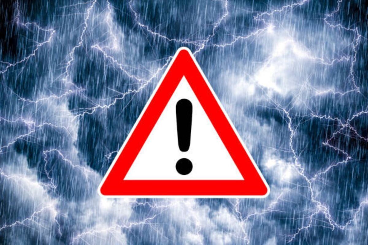
The South African Weather Service has issued severe weather alerts, including a Yellow Level 2 warning for severe thunderstorms, as dangerous winds threaten several parts of the country.
SEVERE WEATHER ALERTS
IMPACT-BASED WARNINGS
A. Yellow Level 2 Warning: Severe Thunderstorms with heavy downpours leading to localised flooding of susceptible roads, settlements, low-lying bridges/areas and possible strong damaging winds over Limpopo, Mpumalanga and the extreme north-eastern parts of KwaZulu-Natal, as well as the northern parts of Gauteng.
B. Yellow level 1 Warning: Damaging winds resulting in localised damage to settlements and temporary structures, localised disruption to power and communications, as well as disruptions of beach/port activity, are expected in places along the coast between Plettenberg Bay and Durban.
FIRE DANGER WARNINGS
NIL
ADVISORIES
Hot to very hot and humid weather will result in extremely uncomfortable conditions over the extreme north-eastern parts.
Weather conditions and UVB forecast in South Africa’s provinces
Gauteng
Gauteng can expect cloudy and warm with scattered showers and thundershowers, but partly cloudy in the south-west.
The expected UVB Sunburn Index is High
Mpumalanga
Mpumalanga, the Place of the Rising Sun, can expect cloudy with morning fog in places, otherwise cool to warm with scattered to widespread showers and thundershowers, but hot in places in the Lowveld.
Limpopo
In Limpopo, cloudy with morning fog in places, otherwise cloudy and cool to warm with scattered to widespread showers and thundershowers.
North West
North West, known as Bokone Bophirima in Setswana, can expect cloudy with morning fog patches in places, otherwise partly cloudy and warm, with isolated showers and thundershowers over the central and eastern parts but scattered in the extreme north-east.
Free State
In Free State, cloudy with morning fog patches in places in the morning, otherwise partly cloudy and cool to warm, with isolated showers and thundershowers over the central and eastern parts.
Northern Cape
The day will start partly cloudy and cool to warm with isolated showers and rain in the extreme south-west at first. The wind along the coast will be moderate to fresh southerly to south-easterly, becoming strong in the afternoon.
Western Cape
Cloudy and cool to warm with light rain at times except in the north-eastern parts, while clearing from the west mid-morning but persisting along the south coast and adjacent interior. The wind along the coast will be strong to near-gale west to south-westerly between Cape Point and Plettenberg Bay until mid-morning, otherwise fresh to strong southerly to south-easterly but light to moderate south to south-westerly along the south coast.
The expected UVB sunburn index is Very High
Eastern Cape
The Western half: Partly cloudy and cool but cold in places over the interior. Light showers are likely in the morning in the extreme south. The wind along the coast will be strong south-westerly, moderating in the afternoon.
The Eastern half: The day will start partly cloudy and cool with light showers in places south of the escarpment. The wind along the coast will be strong south-westerly, moderating in the evening.
KwaZulu-Natal
Cloudy and warm in the north-east with scattered showers and thundershowers, but widespread in the extreme north-east, where it will be hot. The wind along the coast will be moderate to fresh northerly to north-easterly north of Durban, otherwise moderate south-westerly. It will become strong to near-gale south-westerly from the south towards the afternoon, spreading northwards.
The expected UVB Sunburn Index is Low
Forecast data provided by the South African Weather Service.