WEATHER: Severe storms with rain, winds and hail expected in SA
Curious about what the skies hold? Discover the latest outlook for all nine provinces across South Africa this Tuesday, 17 February 2026.

Get daily updates on temperatures, winds and UVB levels, and see what the SA Weather Service predicts for the country.
Here’s the weather outlook for South Africa’s nine provinces.
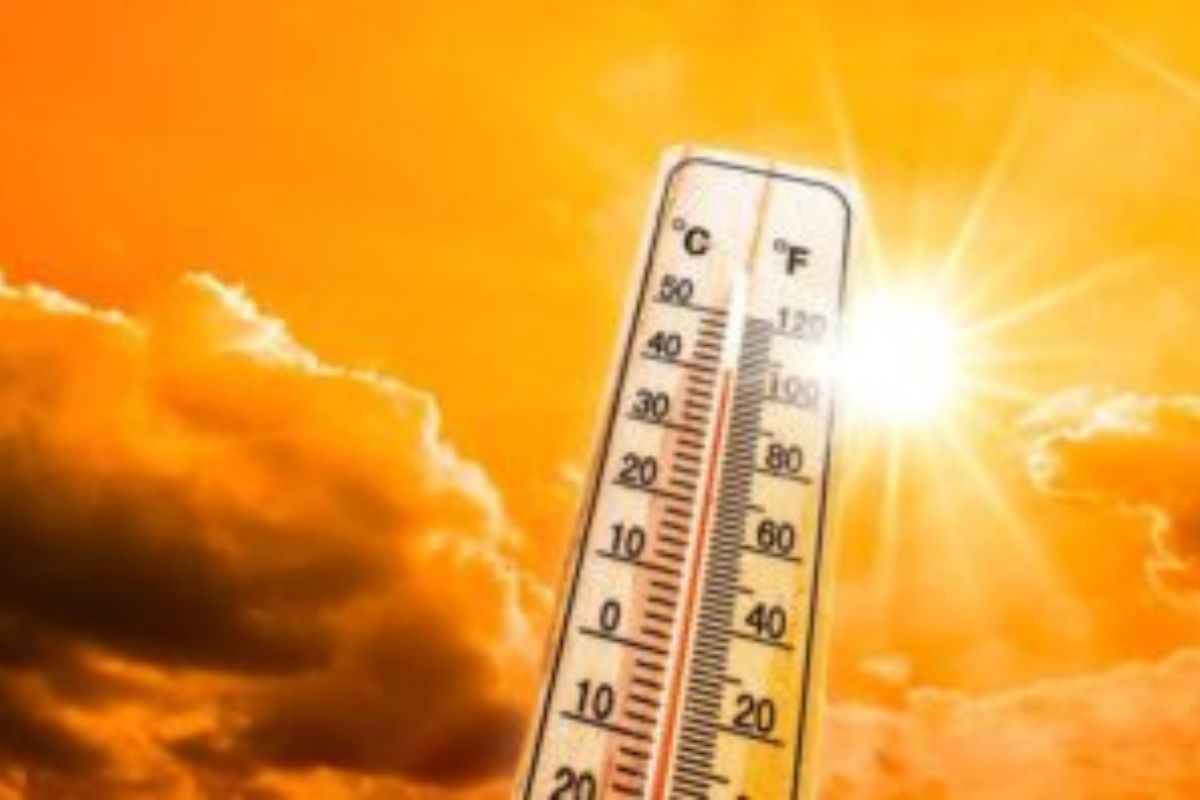
The South African Weather Service has issued a warning for severe thunderstorms associated with strong, damaging winds, hail and excessive lightning. Hot and humid conditions are also expected, resulting in extremely uncomfortable weather.
SEVERE WEATHER ALERTS
IMPACT-BASED WARNINGS
A. Yellow Level 1 Warning for Severe Thunderstorms associated with strong damaging winds, hail, excessive lightning, and heavy downpours leading to flooding of susceptible roads, settlements, as well as low-lying bridges/areas is expected over Kai Igarib, Ikheis, Siyathemba, Kareeberg and Ubuntu Loca
FIRE DANGER WARNINGS
NIL
ADVISORIES
Hot and humid weather will result in extremely uncomfortable conditions in places over Sarah Baartman DM, Nelson Mandela Bay Metro, Buffalo City Metro and Amathole DM.
Weather conditions and UVB forecast in South Africa’s provinces
Gauteng
Gauteng can expect partly cloudy and cool to warm.
The expected UVB Sunburn Index is High
Mpumalanga
Mpumalanga, the Place of the Rising Sun, can expect partly cloudy at first, otherwise fine and cool to warm.
Limpopo
In Limpopo, partly cloudy and warm.
North West
North West, known as Bokone Bophirima in Setswana, can expect partly cloudy and warm, with isolated showers and thundershowers in the western and southwestern parts.
Free State
In Free State, Partly cloudy and warm, with isolated showers and thundershowers in the west and along the Lesotho border.
Northern Cape
The day will start partly cloudy and warm to hot, with isolated showers and thundershowers, but scattered in the central parts. The wind along the coast will be light-westerly to north-westerly in the morning, otherwise moderate to fresh southerly.
Western Cape
Cloudy to partly cloudy along the west coast in the morning where fog is expected, otherwise fine to partly cloudy and warm to hot with isolated showers and thundershowers over the north-eastern parts. The wind will be light westerly to north-westerly along the west coast in the morning, otherwise moderate to fresh southerly to south-westerly.
The expected UVB sunburn index is Extreme
Eastern Cape
The Western half: Fine and warm to hot, becoming cloudy with isolated showers and thundershowers in places, excluding the coast. The wind along the coast will be moderate to fresh south-westerly.
The Eastern half: The day will start cloudy with fog in places in the morning, otherwise fine and warm to hot, becoming cloudy with isolated showers and thundershowers over the western and northern interior, but scattered along the escarpment. The wind along the coast will be moderate to fresh north-easterly.
KwaZulu-Natal
Morning fog over the interior, otherwise partly cloudy and cool to warm with isolated showers and rain over the extreme south-west and north-east. The wind along the coast will be light to moderate southerly to south-easterly north of Durban, otherwise moderate to fresh northerly to north-easterly.
The expected UVB Sunburn Index is Extreme
Forecast data provided by the South African Weather Service.