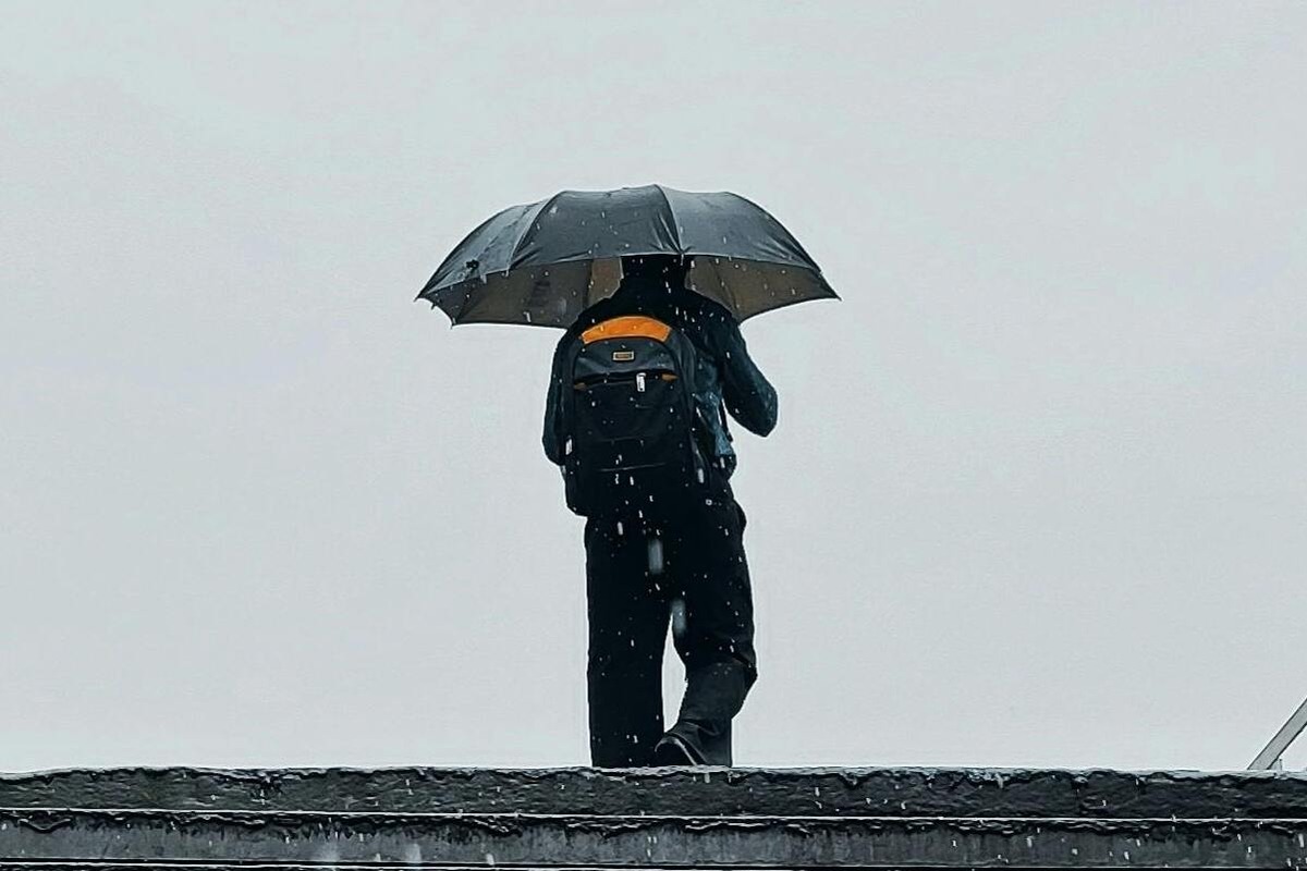
WEATHER: Disruptive rain leading to flooding expected in parts of SA
Curious about what the skies hold? Discover the latest outlook for all nine provinces across South Africa this Monday, 17 November 2025.

Get daily updates on temperatures, winds and UVB levels, and see what the SA Weather Service predicts for the country.
Here’s the weather outlook for South Africa’s nine provinces.
The South African Weather Service (SAWS) has issued a Yellow Level 2 warning for disruptive rain in the Limpopo Valley and Lowveld, which may cause localised flooding in vulnerable areas. Additionally, extremely high fire danger conditions are expected in Kamiesberg (Northern Cape) and Matzikama and Bergrivier municipalities (Western Cape).
SEVERE WEATHER ALERTS
IMPACT-BASED WARNINGS
A. Yellow level 2 warning: Disruptive rain leading to localised flooding of susceptible formal/informal settlements or roads, low-lying areas and bridges are expected in the Limpopo Valley as well as the Lowveld of Limpopo and Mpumalanga.
FIRE DANGER WARNINGS
Extremely high fire danger conditions are expected over the Kamiesberg municipality of the Northern Cape and the Matzikama and Bergrivier municipalities of the Western Cape.
ADVISORIES
NIL
Weather conditions and UVB forecast in South Africa’s provinces
Gauteng
Gauteng can expect cloudy and cold conditions with scattered showers and thundershowers. It will be cool in the extreme north.
The expected UVB Sunburn Index is Moderate
Mpumalanga
Mpumalanga, The Place of the Rising Sun, can expect cloudy and cool to cold with scattered showers and thundershowers, but widespread in the Lowveld.
Limpopo
In Limpopo, it will be cloudy and cool to cold with scattered showers and thundershowers, but widespread in the Lowveld and Limpopo Valley.
North West
North West, known as Bokone Bophirima in Setswana, can expect cloudy and cold to cool conditions, with isolated showers and thundershowers, more scattered in the east. The weather will become partly cloudy in the west from the afternoon.
Free State
In Free State, cloudy in the east with isolated showers and thundershowers, otherwise partly cloudy and cold to cool.
Northern Cape
The day will start partly cloudy over the central and eastern parts, otherwise fine and warm to hot. The wind along the coast will be fresh to strong southeasterly.
Western Cape
Partly cloudy in the extreme north-east, otherwise fine, windy and warm to hot, but very hot in places in the west. The wind along the coast will be moderate to fresh easterly to south-easterly, becoming strong in the afternoon.
The expected UVB sunburn index is Very High.
Eastern Cape
The Western half: The day will start with morning fog in places over the interior, otherwise fine and warm to hot. It will be partly cloudy in the north. The wind along the coast will be light to moderate northeasterly at first, otherwise fresh to strong easterly.
The Eastern half: The day will start cloudy and cool with fog in places in the morning, becoming partly cloudy in the north and west in the afternoon. Isolated light showers and rain can be expected in places in the south and east at times. The wind along the coast will be Light to moderate northeasterly, freshening from the south in the afternoon.
KwaZulu-Natal
KwaZulu-Natal can expect morning fog in places over the western interior, otherwise cloudy and cold to cool with isolated showers and thundershowers. The wind along the coast will be light to moderate southeasterly, becoming light to moderate easterly to northeasterly south of Richards Bay in the afternoon.
The expected UVB Sunburn Index is Low.
Forecast data provided by the South African Weather Service.