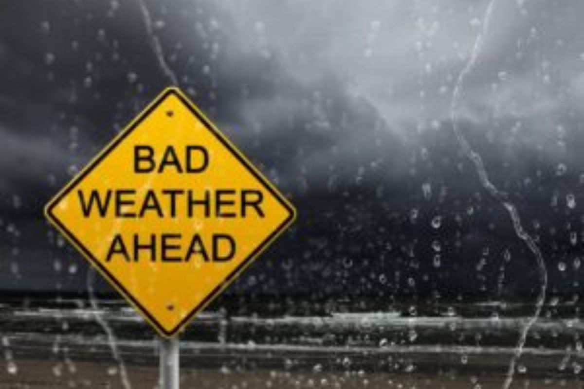
Multiple severe weather warnings issued for FOUR provinces TODAY
Curious about what the skies hold? Discover the latest outlook for all nine provinces across South Africa this Sunday, 23 November 2025.

Get daily updates on temperatures, winds and UVB levels, and see what the SA Weather Service predicts for the country.
Here’s the weather outlook for South Africa’s nine provinces.
SAWS has issued a Yellow Level 2 alert for severe thunderstorms with heavy downpours, excessive lightning, small hail and damaging winds over western KwaZulu-Natal, western Limpopo, and parts of Mpumalanga’s Highveld and escarpment.
SEVERE WEATHER ALERTS
IMPACT-BASED WARNINGS
Yellow Level 2, 4 and 5 severe thunderstorm warnings issued as heavy downpours, excessive lightning, large amounts of small hail and damaging winds expected in four provinces.
IMPACT-BASED WARNINGS FOR SUNDAY
A. Orange L5 Warning: Severe Thunderstorms producing heavy downpours, hail and excessive lightning that will lead to flooding of susceptible roads, low-lying areas and bridges, damages to infrastructure and properties due to large amounts of small hail or large hail in an open area, strong damaging winds, and disruptions to communication and municipality services due to lightning activity, are expected over south-eastern parts of both the Eastern Cape and KwaZulu-Natal.
B. Yellow L4 Warning: Severe Thunderstorms producing heavy downpours, hail and excessive lightning that will lead to flooding of susceptible roads, low-lying areas and bridges, damages to infrastructure and properties due to large amounts of small hail or large hail in an open area, strong damaging winds, and disruptions to communication and municipality services due to lightning activity, are expected in places over KwaZulu-Natal, except for the south-east and extreme north-eastern parts of the Province.
C. Yellow L2 Warning: Severe Thunderstorms producing heavy downpours, hail and excessive lightning that will lead to localised flooding of susceptible roads, low-lying areas and bridges, damages to infrastructure and properties due to large amounts of small hail or large hail in an open area, strong damaging winds, and disruptions to communication and municipality services due to lightning activity, are expected in places over the Free-State, northern and eastern parts of the Eastern Cape (except for the south-eastern parts), as well as along the escarpment of Mpumalanga.
FIRE DANGER WARNINGS
Extremely high fire danger conditions are expected over the Swartland Local Municipality in the Western Cape, as well as in places over the North West and Free State.
ADVISORIES
NIL
Weather conditions and UVB forecast in South Africa’s provinces
Gauteng
Gauteng can expect cloudy with morning fog in places, otherwise partly cloudy and warm, but hot in the extreme north. Scattered afternoon showers and thundershowers can be expected.
The expected UVB Sunburn Index is High
Mpumalanga
Mpumalanga, the Place of the Rising Sun, can expect hot conditions in places in the north, otherwise partly cloudy and warm with isolated afternoon showers and thundershowers.
Limpopo
In Limpopo, it is initially fine, but later becomes partly cloudy and warm, with isolated to scattered showers and thundershowers, except in the Lowveld, where temperatures will be hot.
North West
North West, known as Bokone Bophirima in Setswana, can expect partly cloudy, windy and warm to hot, with isolated showers and thundershowers, except in the extreme north west.
Free State
In Free State, cloudy to partly cloudy, windy and warm to hot, with scattered showers and thundershowers.
Northern Cape
The day will start cloudy with light rain over the western parts in the morning, otherwise partly cloudy, windy and warm with isolated showers and thundershowers in the east, except in the extreme north-east. The wind along the coast will be light and variable at first, otherwise fresh to strong southerly to south-westerly.
Western Cape
Mostly cloudy with isolated to scattered showers, except in the extreme west, where it will be partly cloudy. It will be cool to warm with windy conditions in the south-western parts. The wind along the coast will be strong southerly to south-westerly north of Saldanha Bay, otherwise light to moderate southerly to south-easterly, reaching strong to near-gale between Saldanha Bay and Cape Agulhas.
The expected UVB sunburn index is Very High.
Eastern Cape
The Western half: Partly cloudy in the north-east at first, otherwise cloudy and cool with scattered showers and thundershowers. The wind along the coast will be Light and variable in places, otherwise light to moderate south-westerly.
The Eastern half: The day will start with morning fog in places south of the escarpment, otherwise cloudy and cool to warm with widespread showers and thundershowers, but partly cloudy in places during the morning. The wind along the coast will be light to moderate north-easterly, becoming moderate to fresh south-easterly from mid-morning.
KwaZulu-Natal
Morning fog in places over the central interior, otherwise partly cloudy to cloudy and warm to hot. Widespread showers and thundershowers are expected, but scattered in the north-west. The wind along the coast will be moderate to fresh easterly to north-easterly, becoming south-westerly in the extreme south, spreading to Mandeni by the evening.
The expected UVB Sunburn Index is High
Forecast data provided by the South African Weather Service.