
WEATHER: An intense cut-off low to cause landfall this week
Shorts and slops or an umbrella? Here’s what the weather holds for every province in South Africa on Thursday, 27July 2023. SEVERE WEATHER ALERTS IMPACT-BASED WARNINGS: A. Yellow Level 1 Warning: Waves resulting in difficulty in navigation at sea for small vessels and person watercraft is expected between Alexander Bay and Plettenberg Bay FIRE DANGER WARNINGS: […]

Shorts and slops or an umbrella? Here’s what the weather holds for every province in South Africa on Thursday, 27July 2023.
SEVERE WEATHER ALERTS
IMPACT-BASED WARNINGS:
A. Yellow Level 1 Warning: Waves resulting in difficulty in navigation at sea for small vessels and person watercraft is expected between Alexander Bay and Plettenberg Bay
FIRE DANGER WARNINGS:
NIL
ADVISORIES:
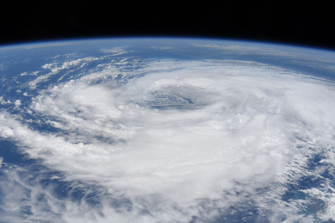
An intense cut-off low pressure system is expected to make landfall on Friday evening over the Western and Northern Cape, dropping the day time temperatures significantly from Saturday into Sunday.The public and small stock farmers are advised that very cold, wet and wind conditions can be expected over the southern high-lying areas of the Namakwa region in the Northern Cape and over the interior of the Western Cape accompanied by snowfall over the mountainous areas.
ALSO READ: Weather forecast live updates
CONDITIONS AND UVB FORECAST
GAUTENG
Temperature: Fine and cool.
The expected UVB Sunburn Index: High.
MPUMALANGA
Temperature: Fine and cold to cool but warm in places in the lowveld.
LIMPOPO
Temperature: Fine and cool to warm.
NORTH WEST
Temperature: Fine, windy and cool to warm, becoming partly cloudy over the central and the eastern parts.
FREE STATE
Temperature: Partly cloudy, windy and cool with isolated to scattered morning showers and thundershowers over the west.
NORTHERN CAPE
Temperature: Morning fog patches over the southern and the western parts, otherwise partly cloudy and cold to cool except in the north-eastern parts where it will be fine, warm and windy.
Wind: – The wind along the coast will be light and variable.
WESTERN CAPE
Temperature: Cloudy in the morning with morning fog patches over the northern parts, otherwise partly cloudy and cool to cold.
Wind: The wind along the coast will be moderate to fresh north-westerly becoming light and moderate north-easterly along the south coast from the late afternoon.
The expected UVB Sunburn Index: Low.
EASTERN CAPE
The Western half:Cloudy in the morning, otherwise partly cloudy and cool.
The Western half – Wind: The wind along the cost will be light southerly to south-easterly.
The Eastern half: Cloudy and cool with isolated morning thundershowers, becoming partly cloudy.
The Eastern half – Wind: The wind along the coast will be light north-westerly north of Coffee Bay at first, otherwise moderate to fresh south- westerly.
KWAZULU-NATAL
Temperature: Fine and warm but cool in places in the south. It will become partly cloudy in places in the south in the evening.
Wind: The wind along the coast will be moderate to fresh north-easterly becoming south-westerly from the south mid morning.
The expected UVB Sunburn Index: High.
Stay up to date by viewing our daily Regional weather forecast here.
Weather forecast data provided by the South African Weather Service. For a detailed forecast of your province, click here.