WEATHER: Heavy rain expected in Six provinces on SUNDAY
Curious about what the skies hold? Discover the latest outlook for all nine provinces across South Africa this Sunday, 22 March 2026.

Get daily updates on temperatures, winds and UVB levels, and see what the SA Weather Service predicts for the country.
Here’s the weather outlook for South Africa’s nine provinces.
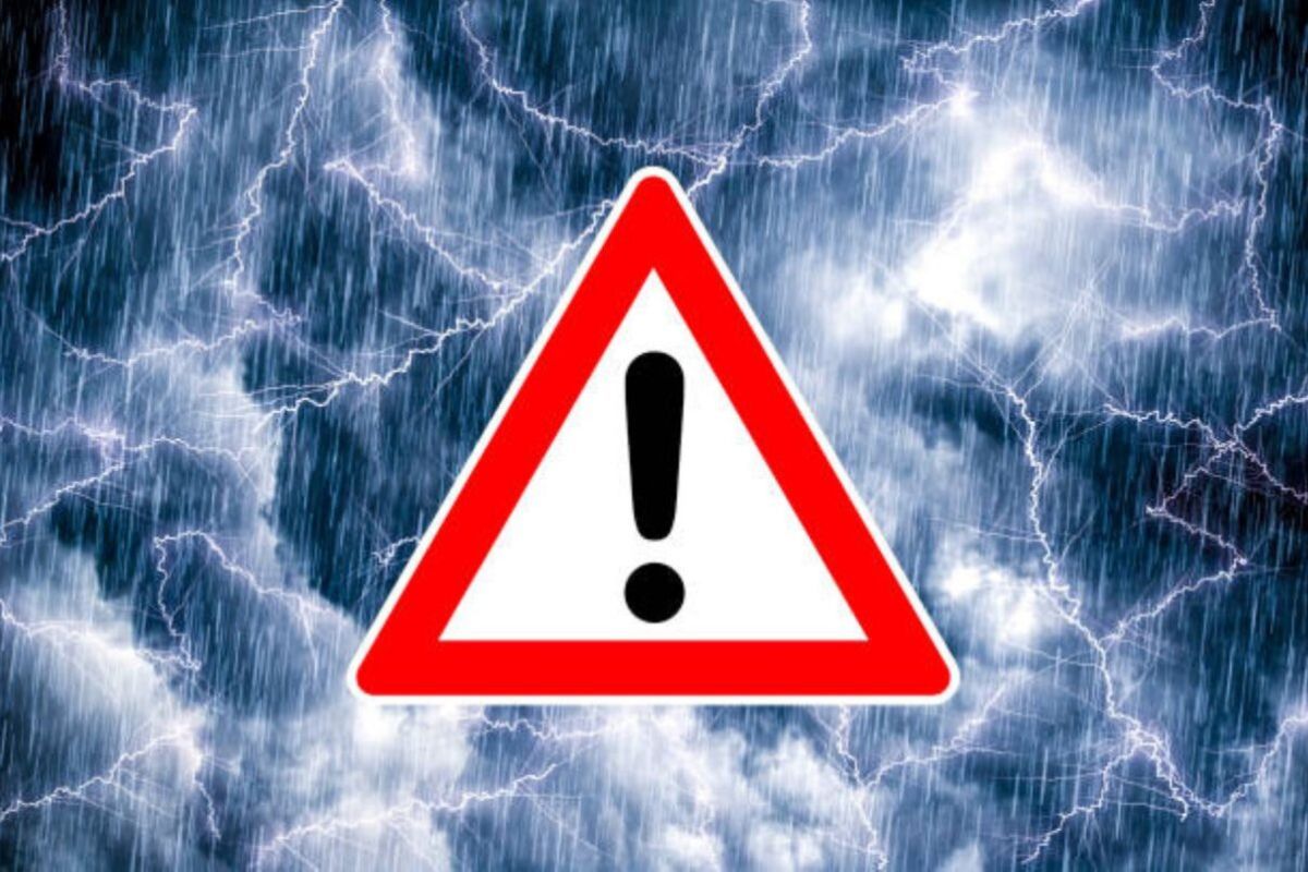
The South African Weather Service is warning that severe thunderstorms with heavy downpours, which may lead to flooding, are expected in six provinces.
SEVERE WEATHER ALERTS
IMPACT-BASED WARNINGS
A. Yellow level 2 Warning for Severe Thunderstorms associated with heavy downpours resulting in localised flooding of low-lying bridges and roads, and damage to infrastructure and settlements due to strong damaging winds are expected over southern Gauteng, the Highveld and escarpment of Mpumalanga, Lowveld of Limpopo, western parts of KwaZulu Natal, the eastern and southern parts of the Free State, in places over the south-eastern and central parts of the Northern Cape and the eastern parts of the North West.
FIRE DANGER WARNINGS
NIL
ADVISORIES
NIL
Weather conditions and UVB forecast in South Africa’s provinces
Gauteng
Gauteng can expect cloudy, cool to warm conditions with scattered showers and thundershowers.
The expected UVB Sunburn Index is Moderate
Mpumalanga
Mpumalanga, the Place of the Rising Sun, can expect cloudy in the morning with fog along the escarpment, otherwise partly cloudy and cool to warm with isolated showers and thundershowers but scattered over the Highveld.
Limpopo
In Limpopo, Cloudy in the morning, otherwise warm but hot in the Lowveld with isolated showers and thundershowers, but scattered over the Western Bushveld.
North West
North West, known as Bokone Bophirima in Setswana, can expect partly cloudy in the west, otherwise cloudy and cool to warm, with scattered showers and thundershowers.
Free State
In Free State, cloudy and cool to warm, with scattered showers and thundershowers.
Northern Cape
The day will start misty in the morning over the northern coast, becoming fine in the afternoon, otherwise partly cloudy and warm to hot, with isolated to scattered afternoon showers and thundershowers in the east and central. The wind along the coast will be fresh to strong southerly.
Western Cape
Partly cloudy and cool to warm, with chances of rain along the south coast and adjacent interior in the evening. Otherwise, fine and cool to warm, but hot in places over the interior. Isolated showers and thundershowers can be expected over the north-eastern interior. The wind along the coast will be moderate southerly but fresh to strong along the west coast.
The expected UVB sunburn index is Very High
Eastern Cape
The Western half: Cloudy with morning fog in places, otherwise partly cloudy and warm with isolated thunderstorms in the north-east. The wind along the coast will be light to moderate south-westerly.
The Eastern half: The day will start Cloudy with morning fog in places, otherwise partly cloudy and warm with isolated thunderstorms, but scattered in the north, where it will be cloudy. The wind along the coast will be moderate to fresh north-easterly.
KwaZulu-Natal
Cloudy and cool to warm with isolated showers and thundershowers but scattered in the west. The wind along the coast will be moderate to fresh southerly to south-easterly north of Port Shepstone in the morning, otherwise light to moderate easterly to north-easterly spreading northwards in the afternoon.
The expected UVB Sunburn Index is High
Forecast data provided by the South African Weather Service.