
Weather: More snow expected in several areas of SA
Shorts and slops or an umbrella? Here’s what the weather holds for every province in South Africa on Tuesday, 18 July 2023. SEVERE WEATHER ALERTS IMPACT-BASED WARNINGS: A yellow level 2 warning for waves leading to difficulty in navigation at sea for small vessels and disruption to small harbours and ports are expected between Cape Columbine […]

Shorts and slops or an umbrella? Here’s what the weather holds for every province in South Africa on Tuesday, 18 July 2023.
SEVERE WEATHER ALERTS
IMPACT-BASED WARNINGS:
A yellow level 2 warning for waves leading to difficulty in navigation at sea for small vessels and disruption to small harbours and ports are expected between Cape Columbine and Port Alfred.
FIRE DANGER WARNINGS:
Extremely high fire danger conditions are expected over the eastern parts of the Northern Cape and the central and northern parts of the Eastern Cape.
ADVISORIES:
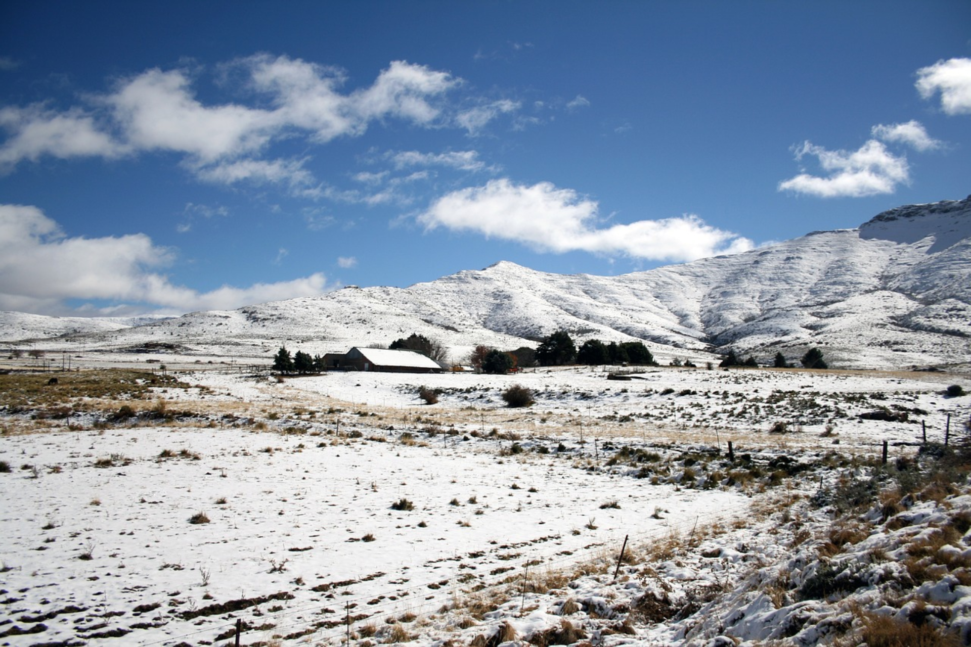
Very cold, wet and windy conditions with snowfall over the high-lying areas are expected over the interior of the Western Cape, southern interior of the Northern Cape and the interior of the Eastern Cape on Wednesday and Thursday
ALSO READ: Weather forecast live updates
CONDITIONS AND UVB FORECAST
GAUTENG
Temperature: Fine and cool.
The expected UVB Sunburn Index: High.
MPUMALANGA
Temperature: Fine and cool but warm in the Lowveld.
LIMPOPO
Temperature: Fine and warm.
NORTH WEST
Temperature: Fine and cool to warm.
FREE STATE
Temperature: Fine and cool.
NORTHERN CAPE
Temperature: Fine and cool to warm but cloudy and cold along the coast. It will become partly cloudy in the south-west from the afternoon.
Wind: – The wind along the coast will be light to moderate south-easterly reaching fresh at times.
WESTERN CAPE
Temperature: Fine over the north-eastern interior, otherwise partly cloudy and cool to cold with scattered to isolated light showers and rain in the west spreading to the south coast and adjacent interior in the evening.
Wind: The wind along the coast will be moderate to fresh north-westerly becoming fresh to strong south-westerly by the late afternoon.
The expected UVB Sunburn Index: Low.
EASTERN CAPE
The Western half: Cloudy with morning fog in the south, otherwise fine and cool but warm in the north. It will become cloudy with isolated showers along the coast and adjacent interior, west of Algoa Bay.
The Western half – Wind: The wind along the coast will be light north-westerly, becoming fresh to strong south-westerly from the afternoon.
The Eastern half: Cloudy with morning fog in the south-west, otherwise fine and cool but warm in the north, becoming cloudy in places south of the escarpment in the evening.
The Eastern half – Wind: The wind along the coast will be light north-westerly, becoming westerly by midday.
ALSO READ: Khartoum: Paramilitaries deny Darfur killings as air strikes rage
KWAZULU-NATAL
Temperature: Fine and warm but cool in the south-west.
Wind: The wind along the coast will be light north-westerly in the south at first, otherwise moderate north-easterly
The expected UVB Sunburn Index: High.
Stay up to date by viewing our daily Regional weather forecast here.
Weather forecast data provided by the South African Weather Service. For a detailed forecast of your province, click here.
Rainfall chart for tomorrow, 18 July 2023, issued 17 July 2023. Scattered showers along the south-west coast, otherwise isolated spreading to the south coast by evening. pic.twitter.com/DzEbR2kiKT
— SA Weather Service (@SAWeatherServic) July 17, 2023
Alert chart for tomorrow, 18 July 2023, issued 17 July 2023. Strong waves along the south-west and south coast. pic.twitter.com/rx1YsP6D3w
— SA Weather Service (@SAWeatherServic) July 17, 2023
Weather Outlook for the week. #coldfront #southafricaweather #cold #snow pic.twitter.com/RYxGecAY9L
— SA Weather Service (@SAWeatherServic) July 17, 2023