
WEATHER: Rain, snowfall to hit several provinces in South Africa
Shorts and slops or an umbrella? Here’s what the weather holds for every province in South Africa on Wednesday, 19 July 2023. SEVERE WEATHER ALERTS IMPACT-BASED WARNINGS: A. A yellow level 2 warning for waves leading to difficulty in navigation at sea for small vessels and disruption to small harbours and ports is expected between Cape […]

Shorts and slops or an umbrella? Here’s what the weather holds for every province in South Africa on Wednesday, 19 July 2023.
SEVERE WEATHER ALERTS
IMPACT-BASED WARNINGS:
A. A yellow level 2 warning for waves leading to difficulty in navigation at sea for small vessels and disruption to small harbours and ports is expected between Cape Columbine and Richards Bay.
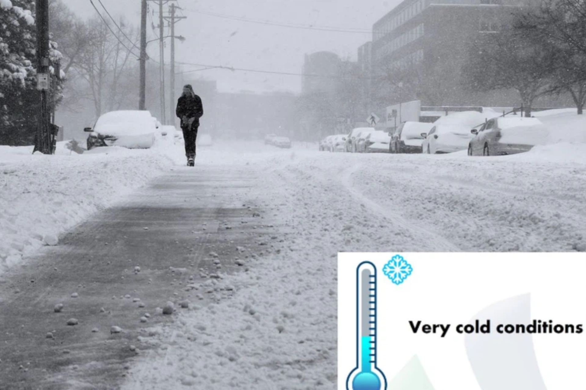
B. A yellow level 2 warning for snow leading to dangerous driving conditions and loss of vulnerable livestock is expected over the central and northern high-lying areas of the Eastern Cape.
FIRE DANGER WARNINGS:
NIL
ADVISORIES:
Very cold, wet and windy conditions with snowfall over the high-lying areas are expected over the interior of the Western Cape, southern interior of the Northern Cape and the interior of the Eastern Cape on Wednesday and Thursday, spreading to the interior of KwaZulu-Natal and the north-eastern Free State on Thursday. The very cold conditions are expected to spread to the Highveld and escarpment of Mpumalanga on Thursday continuing on Friday.
ALSO READ: Weather forecast live updates
CONDITIONS AND UVB FORECAST
GAUTENG
Temperature: Fine and cool.
The expected UVB Sunburn Index: High.
MPUMALANGA
Temperature: Fine and cool to warm, becoming cloudy in the east with a chance of evening drizzle and fog along the escarpment.
LIMPOPO
Temperature: Fine and cool to warm, becoming cloudy in the east in the evening with fog patches along the southern escarpment.
NORTH WEST
Temperature: Fine and cool to warm.
FREE STATE
Temperature: Fine and cool but cold in the west. It will become cloudy in the extreme north-east in the evening with fog patches.
NORTHERN CAPE
Temperature: Partly cloudy and cold with isolated light showers in the extreme south in the morning and light snowfall on the extreme southern high ground where it will be very cold. It will be fine and cool in the north-east.
Wind: – The wind along the coast will be strong south-easterly.
WESTERN CAPE
Temperature: Partly cloudy in the west, otherwise cloudy and cold to very cold with isolated to scattered showers and rain but widespread along the south coast. Snowfall can be expected over the high-lying areas of the interior.
Wind: The wind along the coast will be fresh to strong westerly to south-westerly east of Cape Agulhas until the afternoon where it will become light to moderate south-easterly, otherwise fresh to strong southerly to south-westerly in the morning becoming south-easterly to easterly.
The expected UVB Sunburn Index: Low.
EASTERN CAPE
The Western half: Partly cloudy in the north during the morning, otherwise cloudy and cold with isolated to scattered showers and rain, but widespread along the coast. Snowfall can be expected over the high-lying areas.
The Western half – Wind: The wind along the coast will be strong south-westerly, becoming moderate to fresh southerly in the afternoon.
The Eastern half: Partly cloudy in the west, otherwise fine and cold, becoming cloudy south of the escarpment with isolated showers and rain but cloudy with scattered showers and rain in the extreme south-west. Snowfalls can be expected over the high-lying areas in the evening.
The Eastern half – Wind: The wind along the coast will be fresh to strong south-westerly.
KWAZULU-NATAL
Temperature: Fine over the western parts in the morning, otherwise partly cloudy and cool, becoming cloudy from the afternoon with isolated showers and rain. It will be cold in the south-west.
Wind: The wind along the coast will be moderate north-westerly north of Mandeni at first, otherwise fresh to strong south-westerly.
The expected UVB Sunburn Index: High.
Stay up to date by viewing our daily Regional weather forecast here.
Weather forecast data provided by the South African Weather Service. For a detailed forecast of your province, click here.